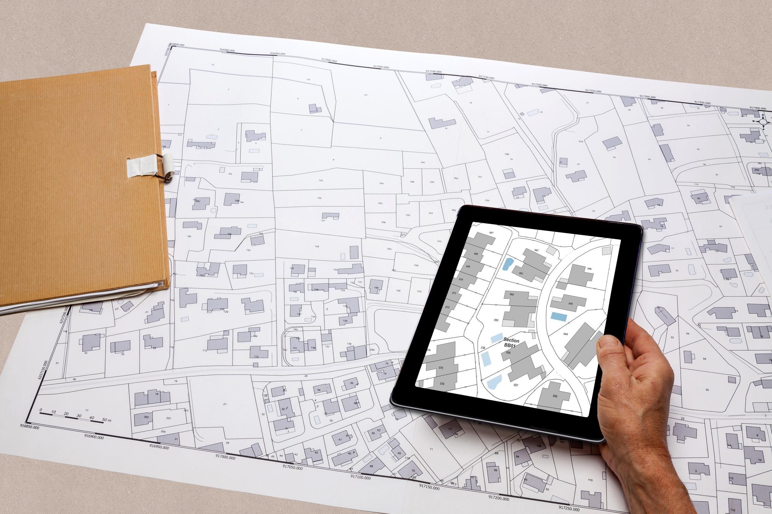
Art. 1 of the Fundamental Law of 1886 defines the Italian Land Registry (cadastre) as follows:
A geometric cadastre, based on parcels, on the measure and the estimate, not probative, with the scope of ascertaining the real estate property, highlighting the changes and determining the taxes.
The cadastre is the existing real estates in the Italian territory and has fiscal and civil purposes; it is managed by the Land Agency (Agenzia del Territorio) and, in some cases, by municipalities. The Land Agency is one of the four Tax Agencies (the others are Customs, Revenue and State Property) that carry out the technical-operational activities, previously carried out by the Ministry of Finance.
The tax purpose of the cadastre is to determine the taxable income of land and buildings in order to calculate direct and indirect taxes. The civil purpose is to identify and keep separate the real estate: for each property are indicated quality or category, location, name of owner and the income.
The data with which a real estate is identified are: sheet, map or parcel and subaltern.
The cadastre is geometric divided in parcels and it identifies real estates on maps based on the topographic relief: each continuous portion of land located in the same municipality, belonging to a single owner, subject to a single species of crop (quality), with uniform degree of productivity (class), constitutes a parcel.
The cadastre is not probative because it does not certify the rights on the real estate (e.g. the property): it mentions changes of ownership with no value of certification – some north-eastern areas of the country where the Habsburg approach has been maintained (v. cadastre table) are exceptions.
The cadastre is divided into land registry with about 80 million parcels and building registry with about 60 million units.
We will examine specifically the two cadastre, the calculation of taxes and other aspects in the next articles.

The aspect that fascinates me most about real estate mediation is being able to find the property that will make you fall in love and feel at home, be the balance point of the negotiation and be able to satisfy all the parties involved, making the deal winning and exciting for everyone.


